


l
The long drive along the Atlantic coast between the village of Holm and the town of Bodø: lousy weather, remote islands, wild coastline, glaciers, and muddy trails.
Namsos, 3rd June
At least for the moment, we’ve seen enough mountains, glaciers, and deep fjords.
And – we’re definitely not too amused anymore by the terrible Norwegian weather.
So, time for a change: to the sea. You know, white beaches, palm trees, and Piña Coladas for breakfast, served by these charming ladies immortalized by the famous painter Gauguin so often.
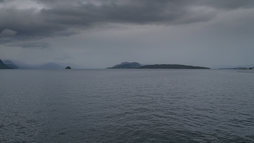
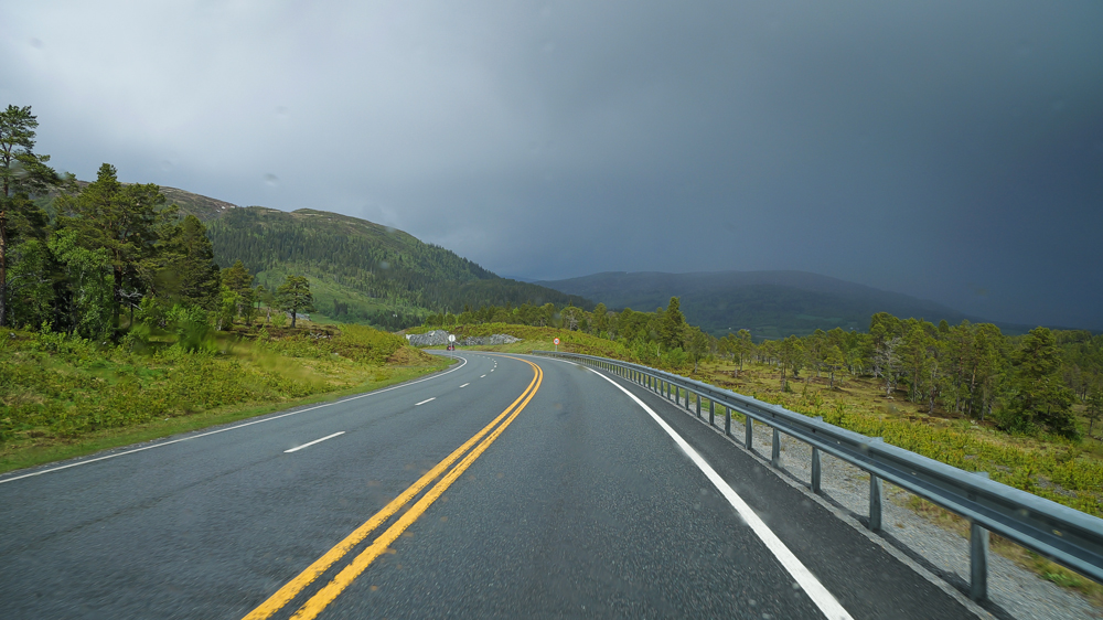
Back to reality: we’re on our way from Åndalsnes to Norway’s Atlantic coast near Molde. It’s a short drive, just about 60km, with only 1 ferry crossing. And for the weather? Plenty of room for improvement: it’s pretty much constantly raining.
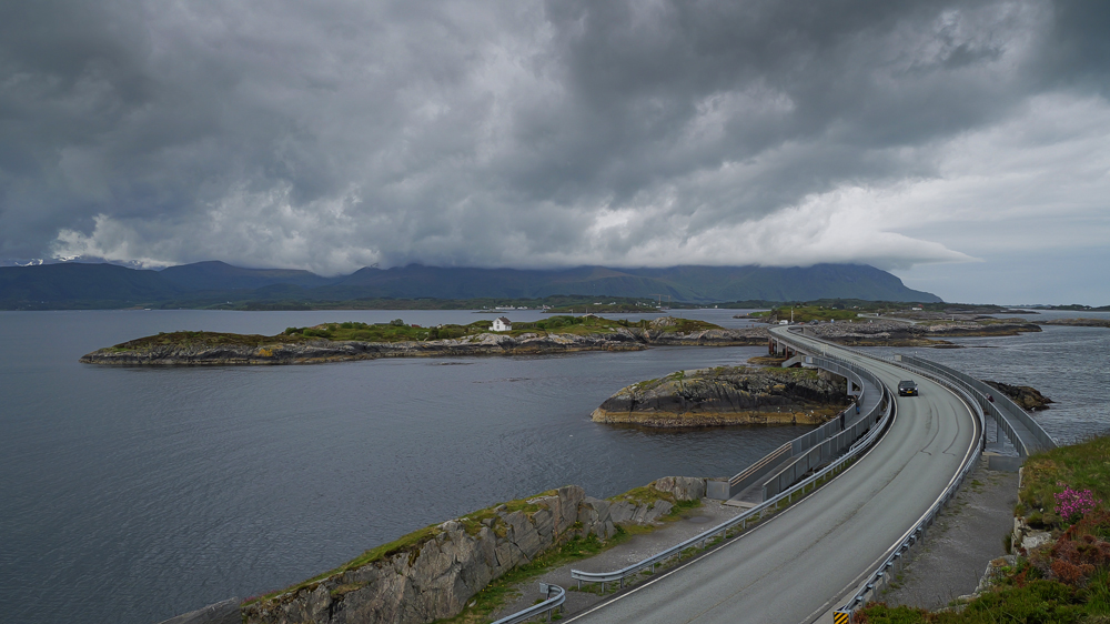
Nearby is the famous Atlantic Road – the Atlanterhavsvegen. It runs along Molde’s skerry-coast and then, over 7km, crosses a chain of those tiny islands by a bunch of bridges and causeways.
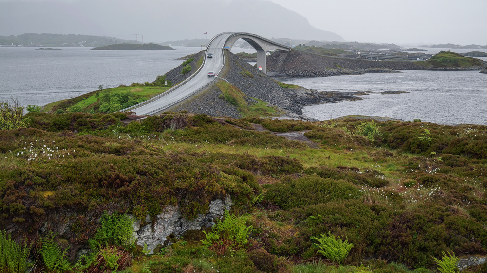
Surely, you’ve seen this famous pic of this curvy bridge glowing in the sunset light.
Well, when we arrive, the weather hasn’t improved. Of course, that doesn’t stop us from snapping another photo of the bridge – this time in the rain.
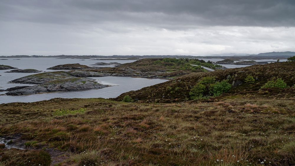
Despite the dramatic vibes of these islands in the rain, we decide to postpone driving the road until tomorrow, when the sun should eventually be back.
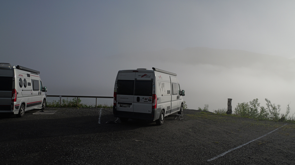
So, we head to a nearby campsite with a nice view – and that’s it for today.
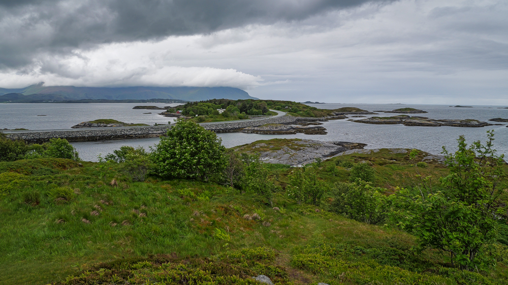
The next morning, it looks like the weather forecast is keeping its promises – the sun might actually be back.
Today, we’re planning to reach Trondheim – 1 of the biggest cities in Norway.
But 1st – back to the Atlantic Road – even though the clouds have already started creeping in again.
So, now we’ve seen what certain people call the most beautiful road in the world. Do we agree? Probably not. To us, it feels more like 1 of those overhyped spots where some influencers snapped a medium quality pic of the famous curved bridge, then photoshopped it until it became the most beautiful building you can imagine.
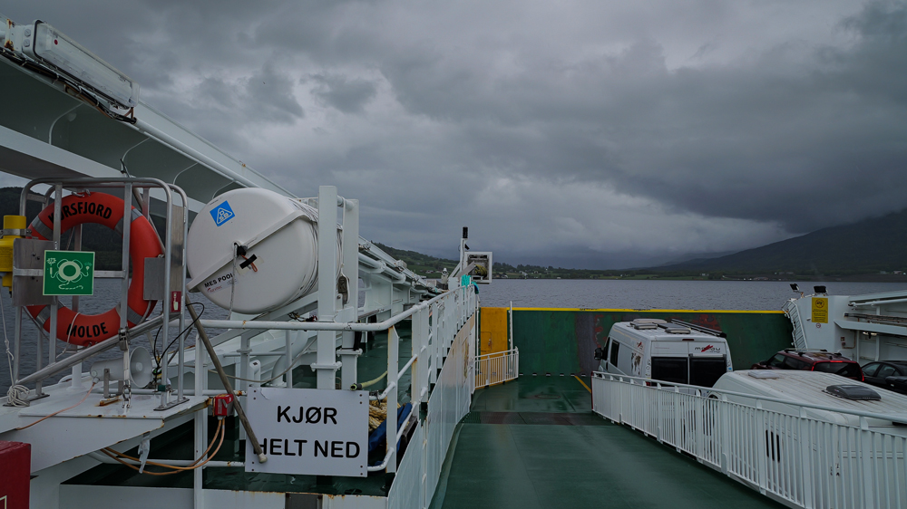
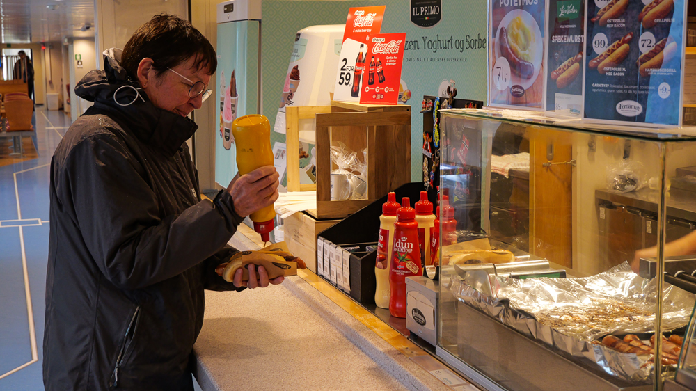
Whatever, we hit the road to Trondheim, about 200km to go. We pass thru the small town of Kristiansund, cross a number of bridges, hop on a ferry – giving us the chance to munch on a kind of hot dog – and finally reach our campsite a few km outside of Trondheim. The weather? Back to the usual.
Next morning: looks like the bad weather has finally cleared – at least for the next few hours. We’re off to explore Trondheim. Surprisingly little traffic for such a big town – and no trouble at all finding a decent (though pricey) parking spot for the van.
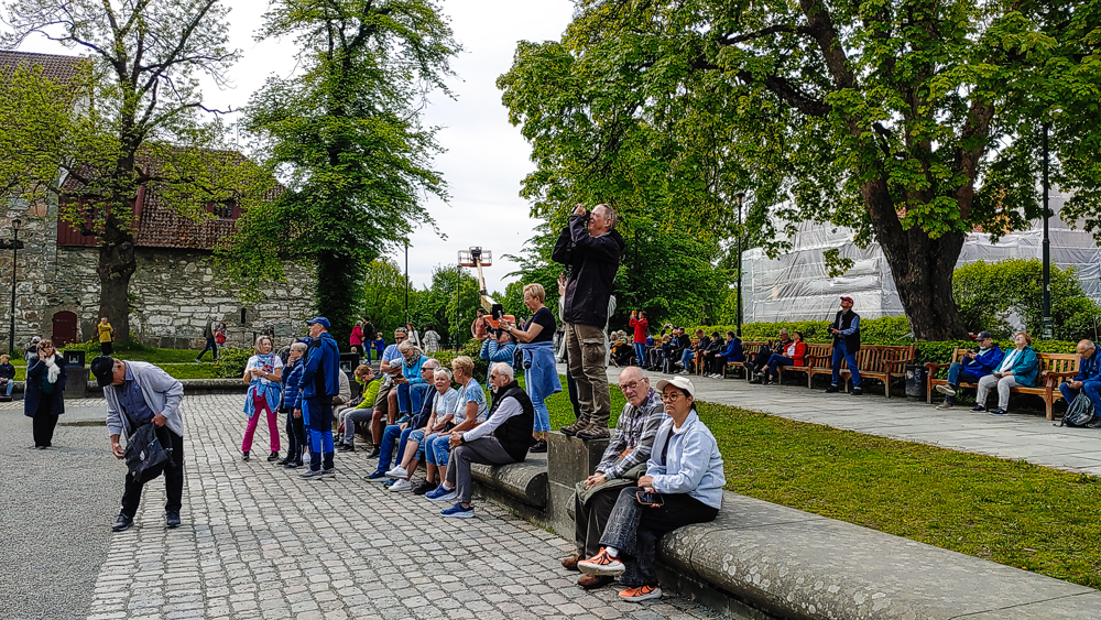
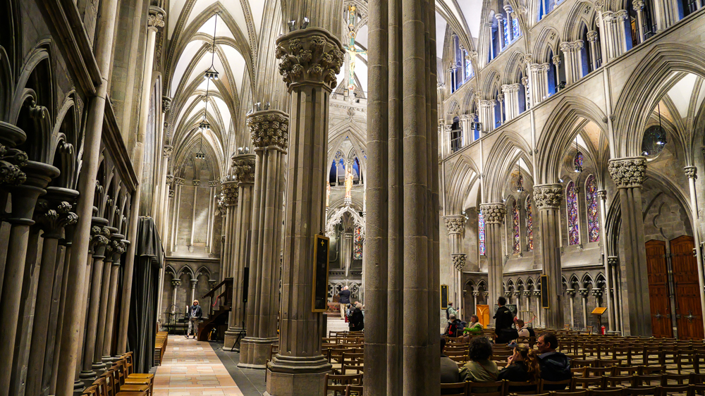
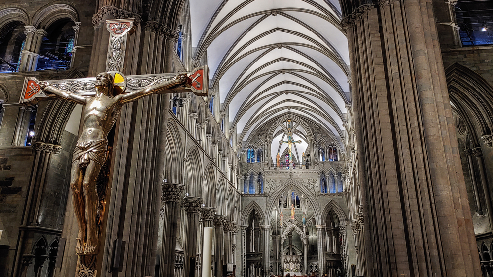
Then we’re off to explore the historical town. Starting, of course, with the Nidaros Dome, the coronation site of Norway’s kings. Somehow, it seems to be a place a lot of people want to visit – mainly cruise shippys on their cultural trip.
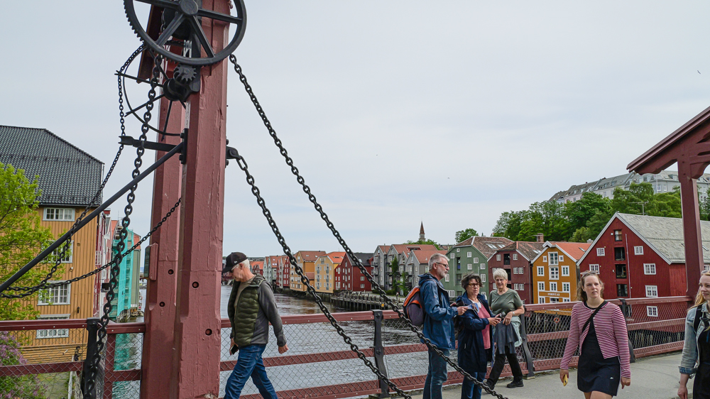
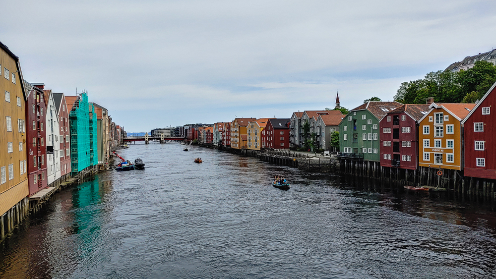
Then to the traditional storage buildings along the River Nidelva. Certainly, from a distance they look pretty traditional – those colorful wooden buildings. But if you get a bit closer, you’ll quickly see they’ve been a little too renovated when they were turned into fancy apartments and shops.
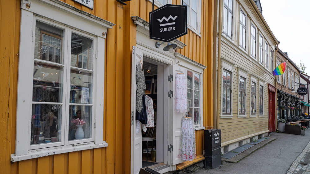
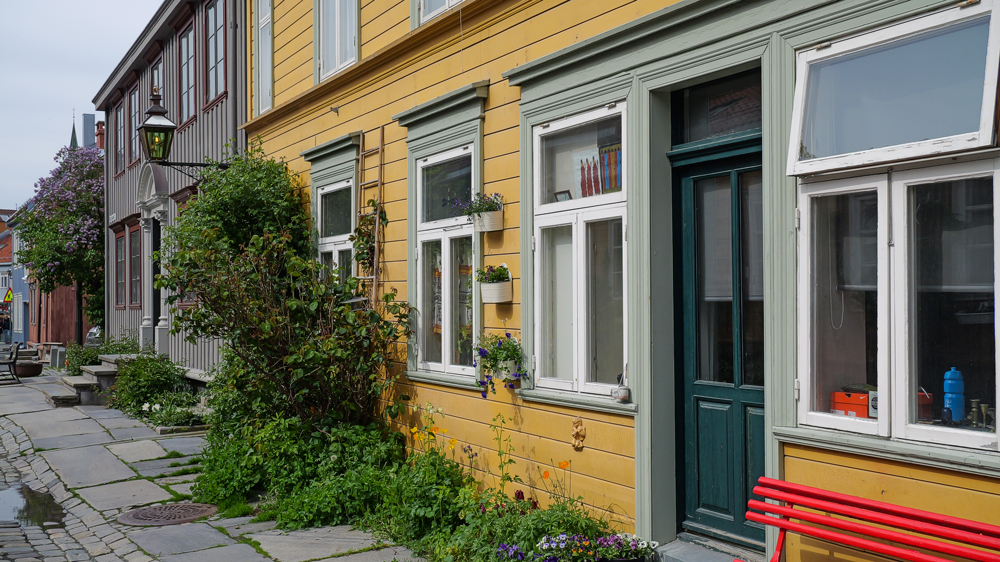
Well, if you sneak thru the backroads of old town, you’ll probably stumble upon nicer and more authentic buildings.
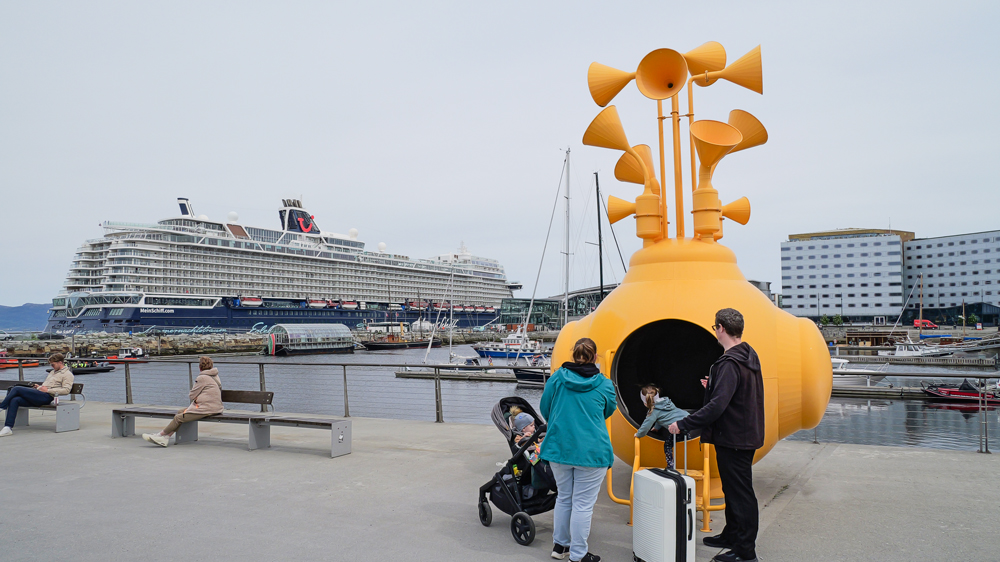
Finally, we stroll down to the harbor – just to see a huge cruise ship from a German tour operator. No wonder there are so many lost souls sneaking thru Trondheim’s streets.
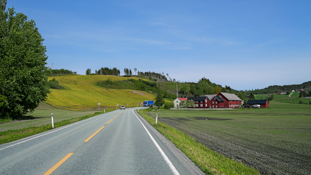
Then we’re off, heading to Namsos. About 200km, 3h to drive. There, we find a nice campground by the shores of a lake.
Vik, 5th June
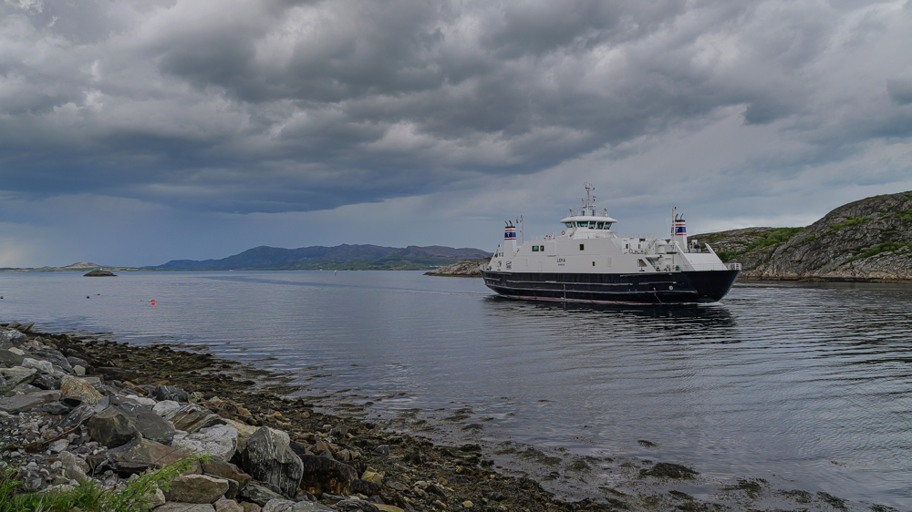
Today we’re back on the road, heading toward the Atlantic Ocean – this time to the island of Leka, known for its unusual geological formations and remote location. It’s about 150km to the little hamlet with the beautiful name Gutvik, then we catch a ferry over to the island.
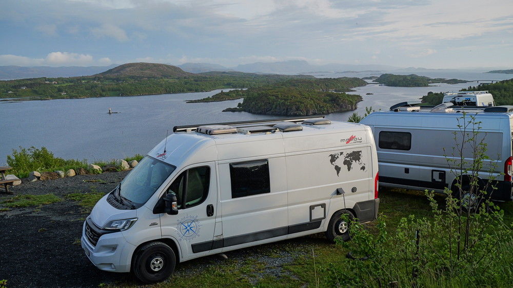
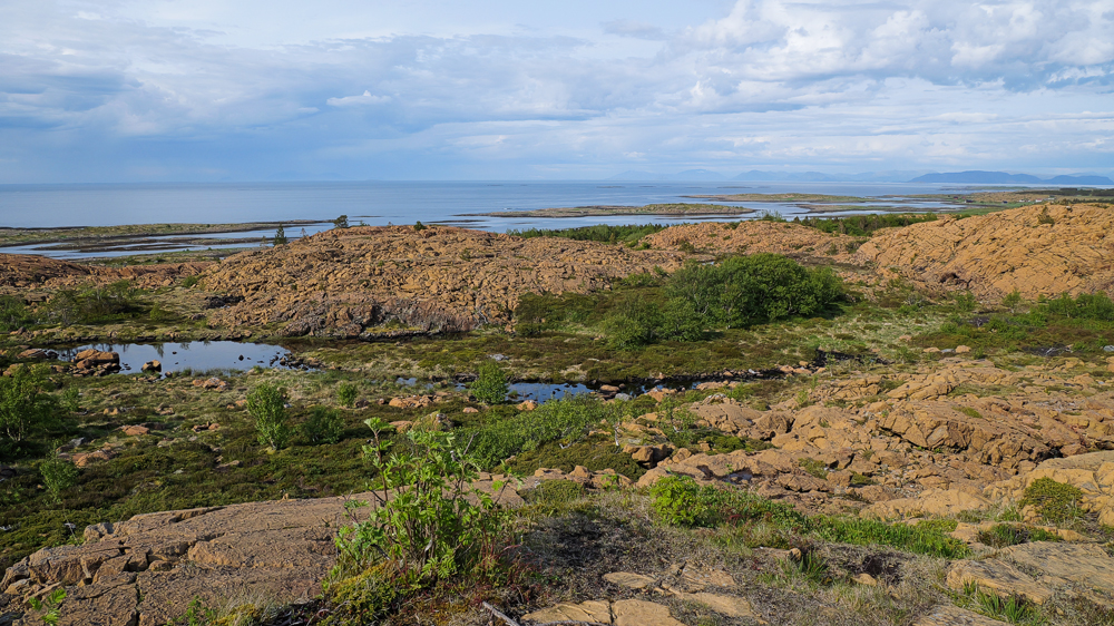
Once we arrive on the island, we head straight to the 1 and only campsite – the 1 with the most beautiful view we’ve had so far.
In the afternoon, we finally head for a short drive around the island – just about 20km. Time to check out some of those geological wonders. 1st stop: to a place called Lekamøya. According to an old saga, it’s got something to do with a petrified virgin or something along these lines. Just a short hike to arrive at this rock.
After 30’, we arrive. Well, probably you have to be Norwy to recognize a virgin in that rock. Whatever – nice view though.
A bit further, another short hike. Now in an area with these famous yellow geological formations.
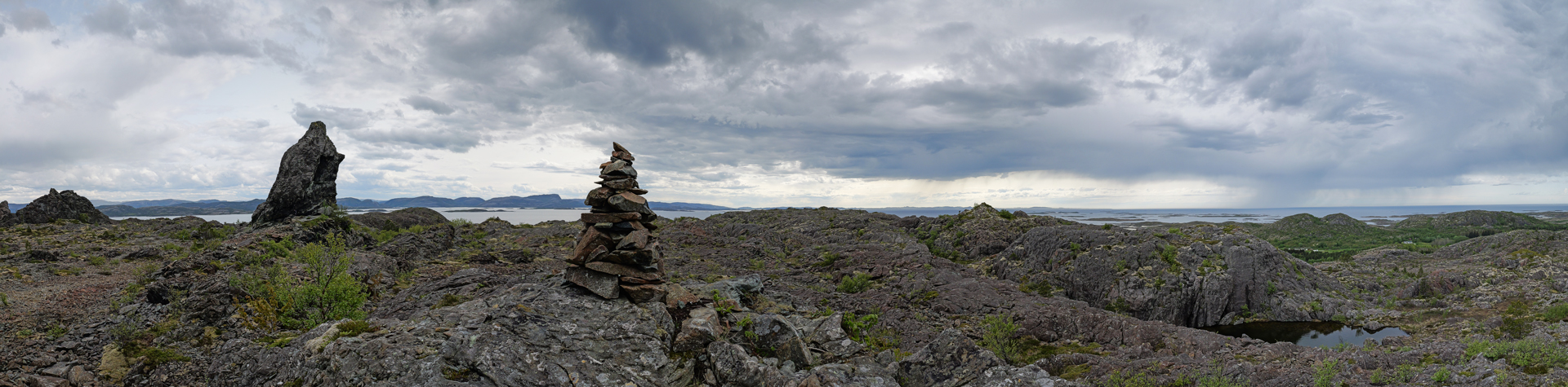
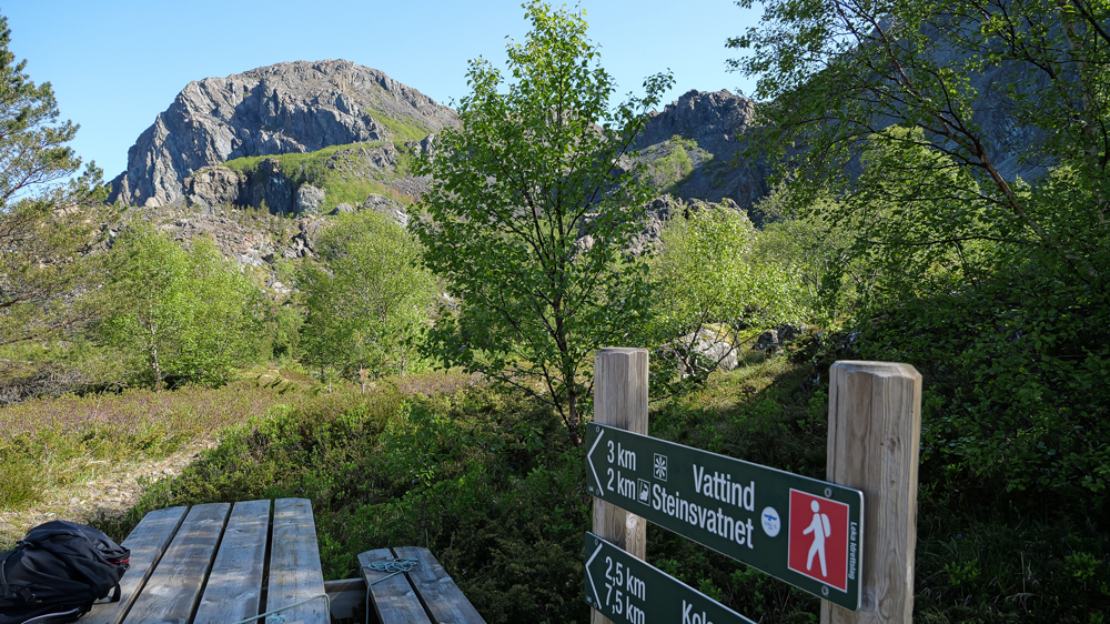
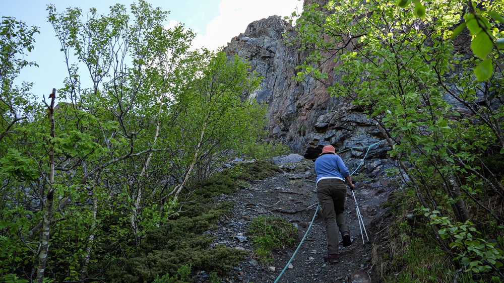
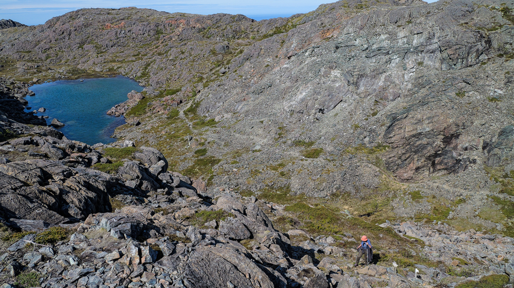
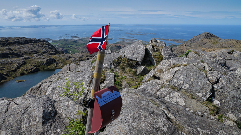
The next morning, we’re ready to climb Leka’s highest mountain – Vatind. Please, don’t expect an adventurous Mount Everest expedition – Vatind is only 418m high. Still, it’s the highest point on the island!
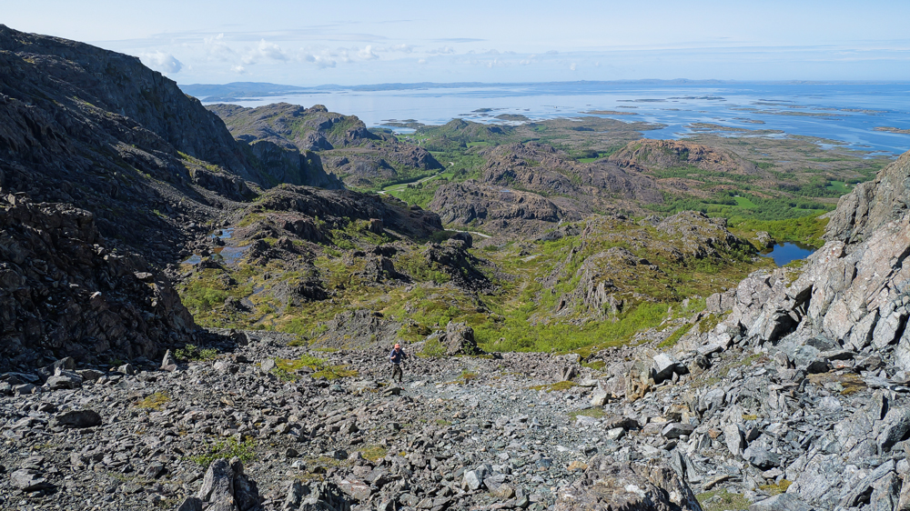
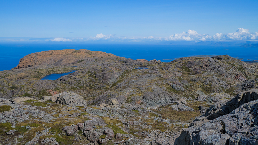
After 2h, we reach the top – and the view is awesome.
Back to the car. Surprisingly, we didn’t see a single other person on the way up.
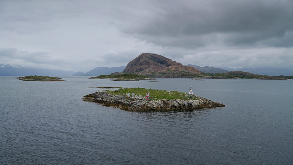
Later, we take the ferry back to Gutvik, then catch another 1 to Holm. That’s where we finally hit the official starting point of Norway’s Helgelandkysten – 1 of the country’s scenic roads heading north toward Bodø, some 600km away. Well, for today, we’re just going as far as Vik, where we spend the night at a campsite geared towards fisherwomen.
Levang, 7th June
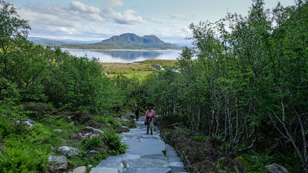
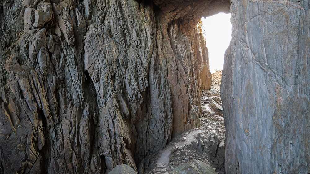
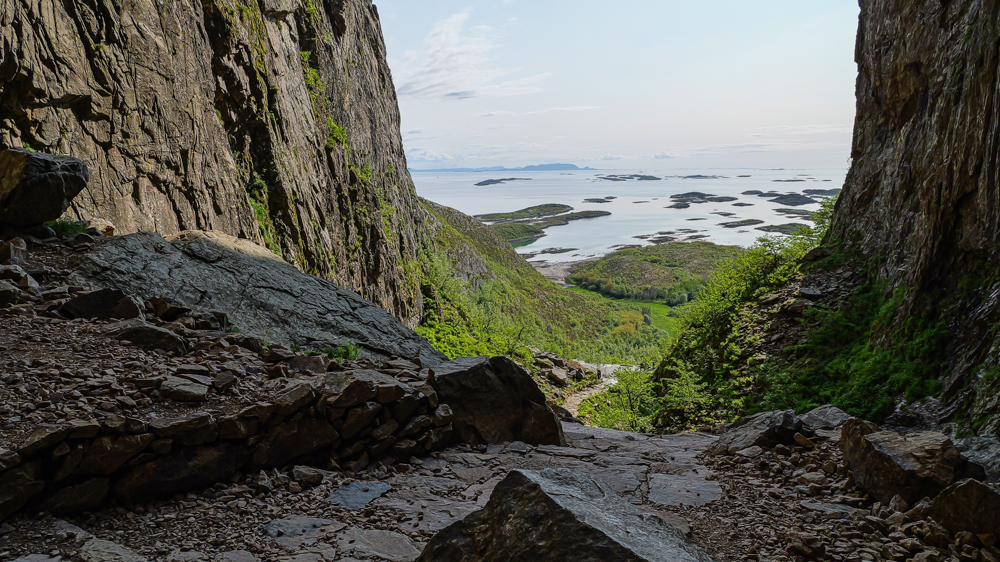
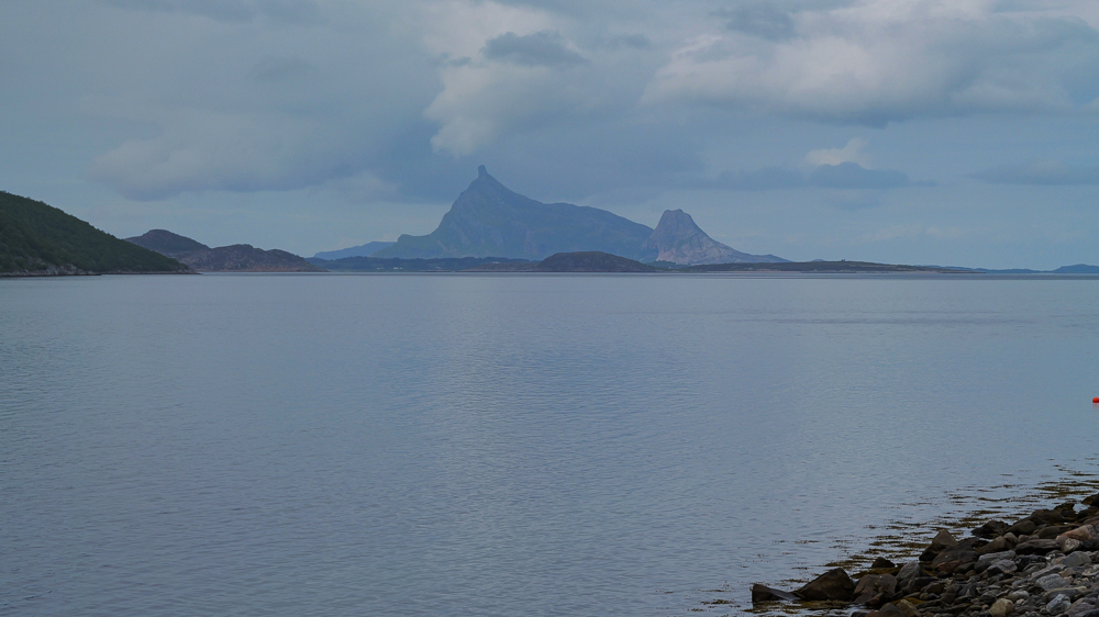
Another day – no more fish and fishing folks. We’re on our way to Torghatten. Just 50 km to go to reach the mountain with a hole straight thru it.
We settle at a huge campground. Clearly built for hordes of tourists. But this time of the year, in the off-season, it’s just a handful of campers, all here to check out the famous hole.
In the afternoon, we have to find out what this hole is all about.
It’s just a short hike uphill to get there – on an overdeveloped, oversized path. Probably built for 5000 cruise shippys visiting all at the same time.
True, some nice views from the top, but definitely not a big adventure.
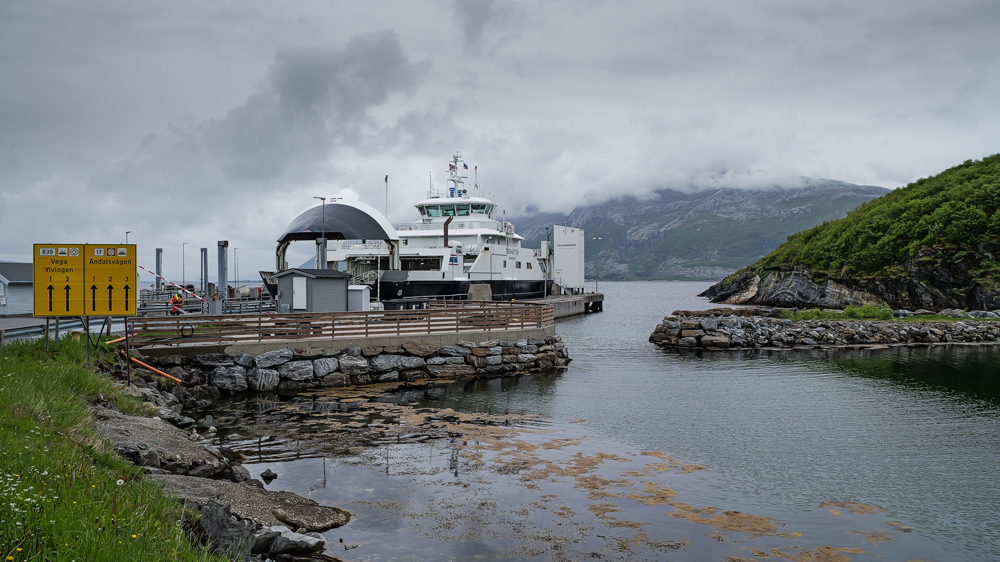
The next morning, we continue our way up the coast to the north. Today, we’ve got a couple of ferries to catch. To avoid crazy long wait times, we’re kind of stuck to their schedules – what a mess.
We finally get an early start, which gives us enough time to hit a supermarket in the next town. Just to be on time for the 1st ferry crossing.
Arriving on the other side of the fjord, we really have to hurry. Just 40´ to cover 30km to the next ferry. No big deal though, every other car on the 1st ferry has exactly the same intention.
When we get there, unfortunately, there are already quite a few cars waiting. Who knows, if there’ll be enough space for everyone.
Whatever – we squeeze in, even if it’s a bit of a crush, which is pretty unusual for Norway.
Then it’s another 90 km to the next ferry. But now we’re way more relaxed since this 1 runs pretty regularly.
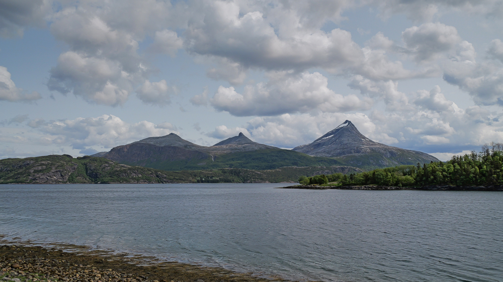
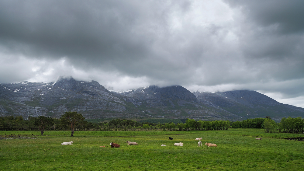
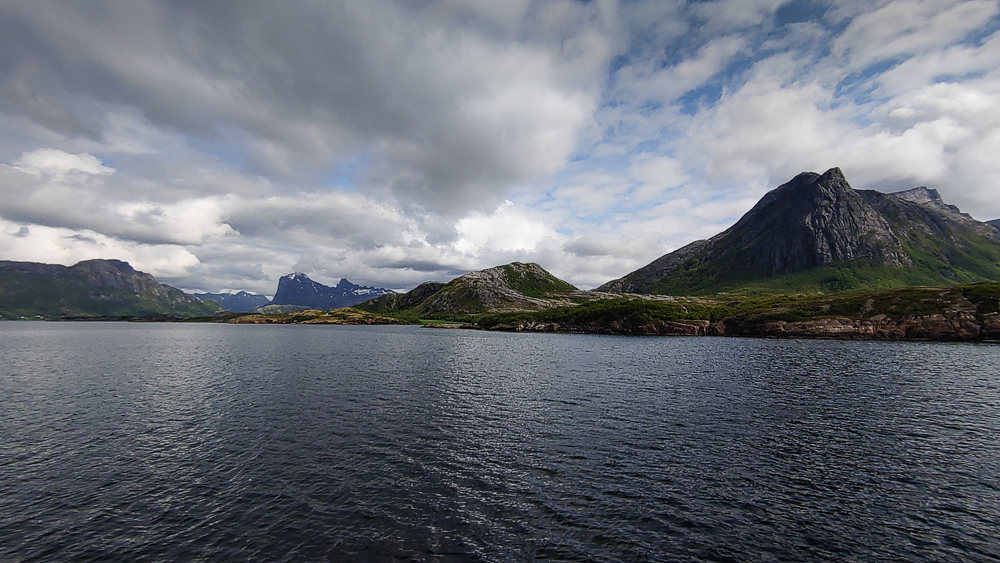
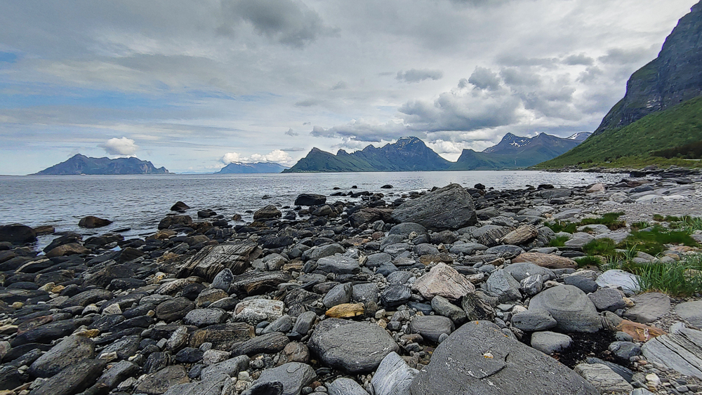
So, we drive along the famous 7 Sisters Mountains – though today hidden in thick clouds – and cross the iconic Helgeland Bridge before finally reaching the little village of Levang for the next crossing.
Arriving there, we decide not to continue. Enough with these ferries for now.
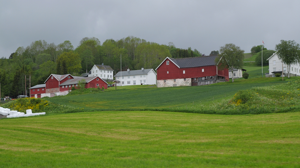
There’s a campsite nearby on a farm. Pretty rustic, but ok for a night.
Fauske, 10th June
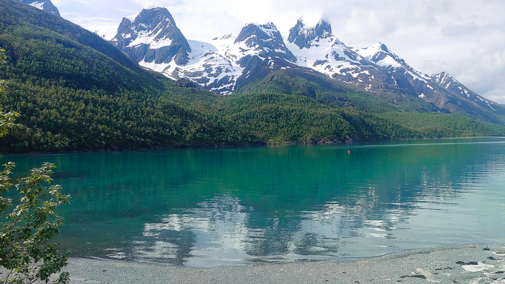
Of course, we don’t plan to stay on this farm for days. So, we’re figuring out the best way to head north: another ferry and along the coast, or inland on the highway to skip more waiting time. After endless reflexions, we suddenly remember that the glacier with the bluest ice in the world isn’t too far away – inland, somewhere near the Swedish border.
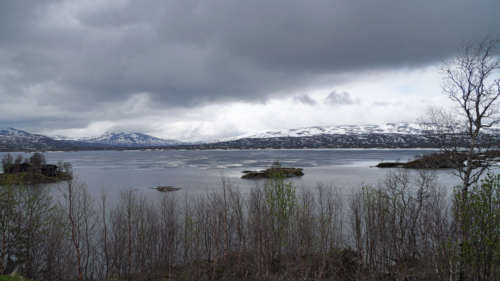
Minutes later, we’re on the road, heading to Mo i Rana and then towards the border crossing a highland. Well, it’s only about 400m high, but still – we’ve rarely seen so much snow’n’ice in Norway.
Finally, we reach the junction to the glacier – the dirt road is partly covered in snow and muddy. Time to turn back to the coast and forget about blue ice and glaciers.
So, we’re heading back to Mo i Rana and then onwards to Furøy, about 150km and a long ferry trip to the north.
Arriving in Kilboghamn, we’re pretty happy a ferry is just about to leave – a solid proof that the online ferry schedules in Norway are definitely not up to date.
10′ later, we set off for our 2-h ferry trip cruising thru stunning landscapes and crossing the Arctic Circle.
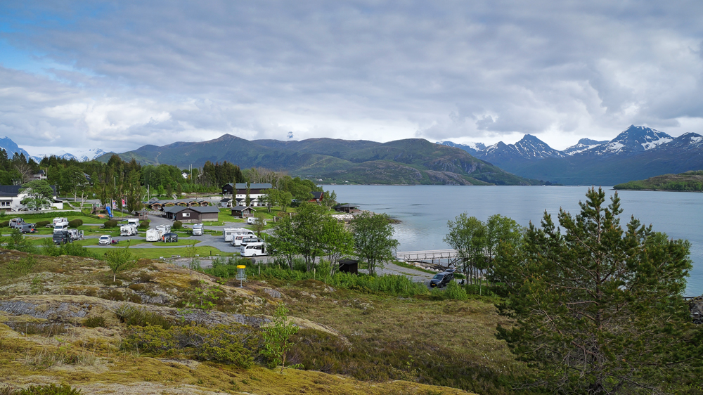
Arriving in Furøy, we’re a bit surprised at how full the campsite is – maybe a sign that we’re getting closer to the Lofoten Islands.
Whatever, we still manage to grab a spot with a certain view.
The next morning: the weather’s surprisingly good. So, we decide to drive to the trailhead for the Litlverivassforsen Hike. Never heard of it or not sure how to spell this name? No worries – neither do we. Whatever, it’s a trail that leads to 1 of Norway’s most amazing waterfalls. We’ll do it tomorrow, even though the weather forecast looks kinda lousy. But, this might still change in Norway.
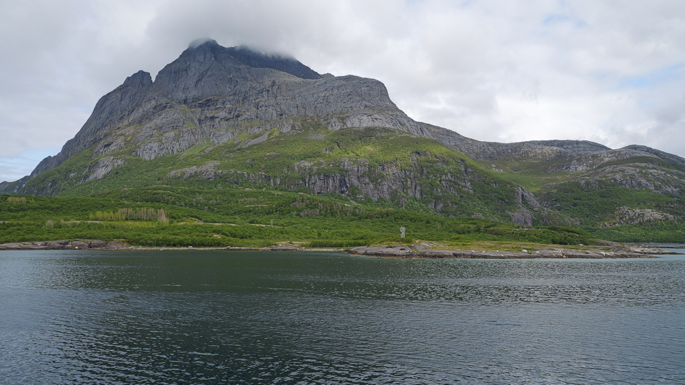
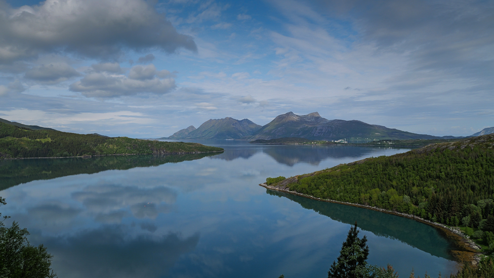
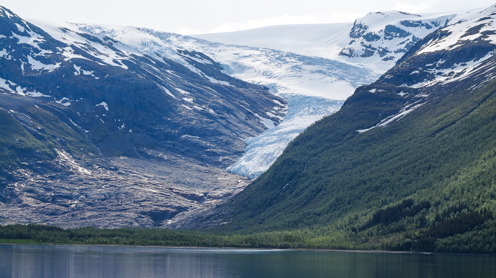
We follow the Holandsfjord, known for its easy access to part of the Svartisen Glacier. Yeah, there’s a spot where the glacier almost reaches sea level. That’s also where the Norwys set up an entire system to funnel money from poor cruise shippys and bus tourists straight into their pockets. Even some US tourists call it a bit of a rip-off on Tripadviser. So, we just stick to a quick photo stop from the roadside.
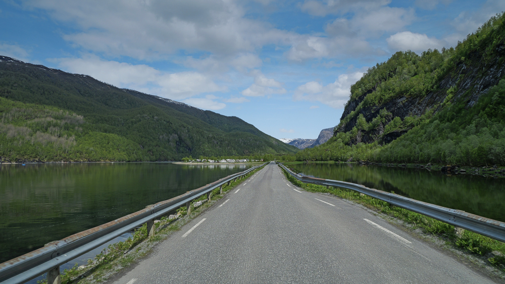
Then we cruise further north along the Atlantic coast, skip the town of Bodø, and finally reach the remote village of Lakshol, the getaway to the Rago National Park.
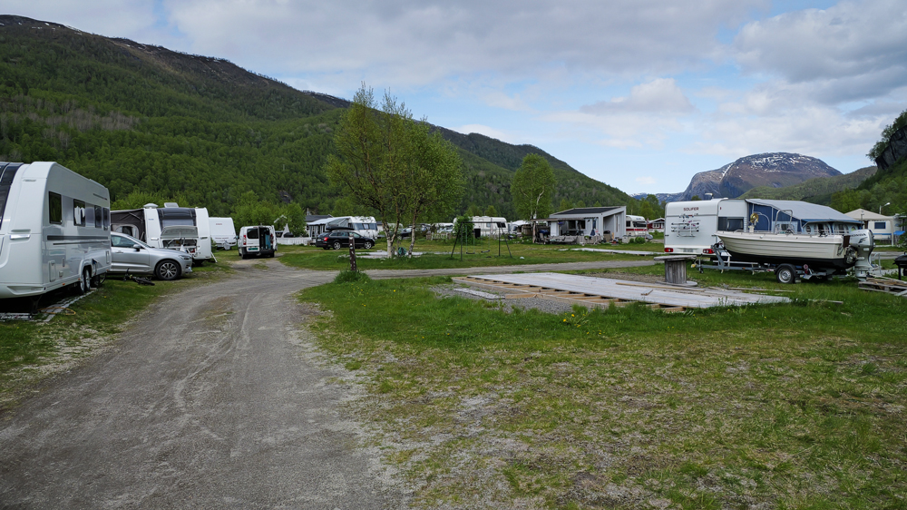
In the afternoon, we arrive at our campsite in Lakshol. Kind of a weird place – lots of permanent campers who built up their slum-like setups, many falling apart, barely anyone around, yet somehow still the site is sort of functioning. And – there’s no other option near the trailhead.
Next morning, the weather is neither particularly good nor bad. We might have a sunny day, a rainy 1, or a mix of both. Who knows, we’re in Norway.
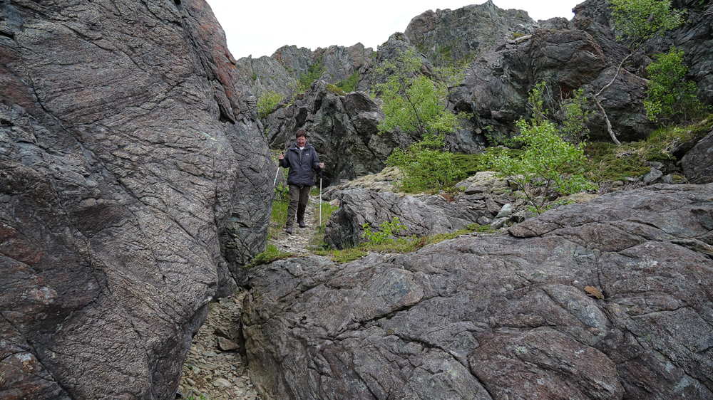
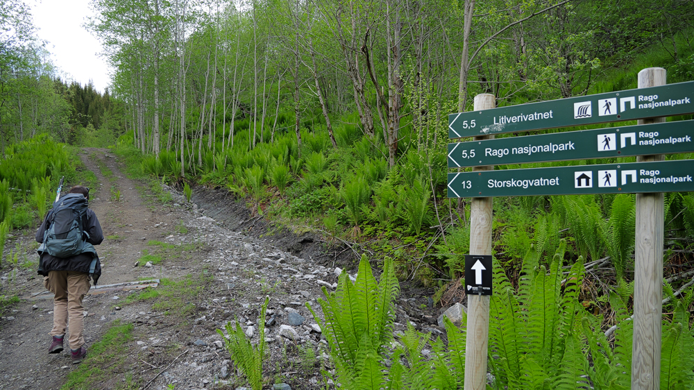
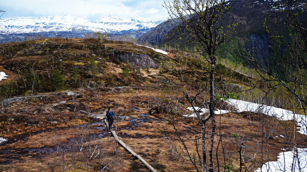
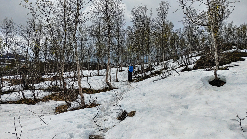
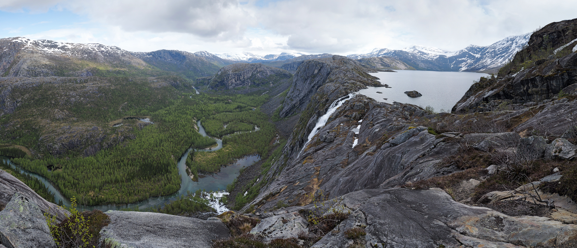
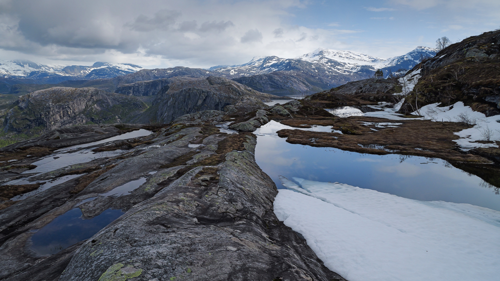
Definitely, we don’t discourage, we’re heading to the Litlverivassforsen Trail. The 1st part steep uphill on a forestry road, then we cross a moor – a pretty muddy’n’slippery issue with still a lot of snow. Finally, along the ridge of a mountain thru melting snowfields.
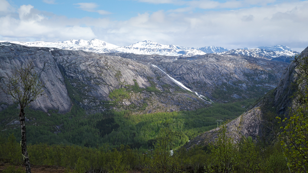
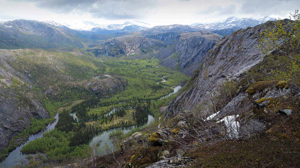
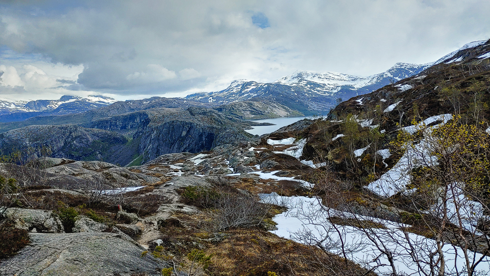
Along the way, several amazing viewpoints.
Part of the trail we hike in bright sunshine, part in drizzling rain – at least we’re glad to have all our waterproof gear with us. Even though at some point, our shoes fill up with snow or icy water once the countless snow bridges over small rivers start collapsing.
After 3h, we finally reach the waterfall – what a view.
It’s definitely too cold to enjoy the view for too long. So, we start heading back thru the snow’n’mud.
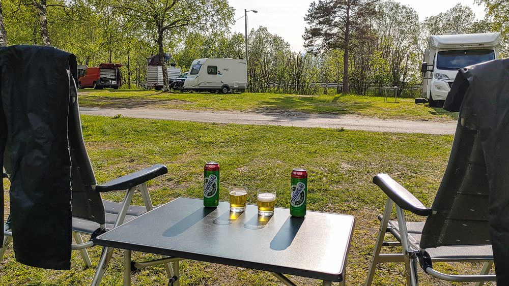
After we return, we drive to Fauske to spend the night on a more inviting campsite. The 1 from yesterday was honestly a bit too creepy and even scary.
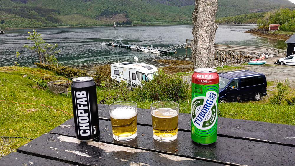
Time to dry all our gear, crack a beer or 2, and recover from a beautiful hike we probably tackled a bit too early in the season.
Dear readers,
enough is enough. Please accept that you have to wait jealously for a few days until we drop our next post.
Cheeeers
Monika’n’Martin